Indiana's Highest Point Is A Surprisingly Easy Hike In A Secluded Forest With Serene Views
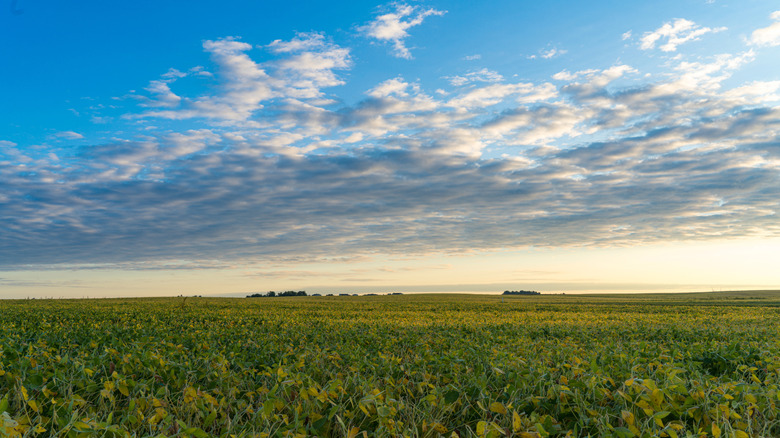
From the deadly mountains of New England to the surreal Mars-like landscapes of Death Valley, America is a landscape of extremes. People from around the world head for the 5,000-mile American Discovery Trail to witness the nation's incredible scenery through the likes of West Virginia, Kentucky, Colorado, Utah, and Nevada. However, not every corner of the United States can boast such dramatic scenery. Indiana, for example, does not have much of a fact sheet. It is the 38th largest state in the union and, apart from a few areas like the Indiana Dunes State Park, is not likely to be among the poster children for the nation's natural beauty.
That's a pity because one doesn't need huge scenery and massive statistics to experience the calm contemplation and many other pleasures of the outdoors. Indiana's Hoosier Hill, near the Ohio border, is the highest point in the state at 1,257 feet above sea level — the 44th highest of the 50 states. Again, this isn't a high-octane location, but this modest, leafy spot of the Midwest is worth a stop, especially for members of the Highpointers Club.
Your trip to Hoosier Hill
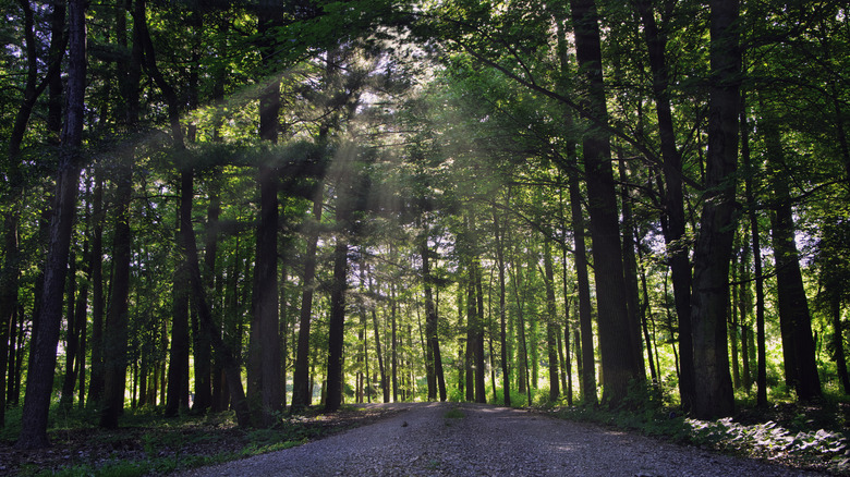
It would be wrong to call Hoosier Hill a very easy hike because it is not a hike at all. In fact, the 0.3-mile trail is barely even a walk. However, a trail is what you make of it. You can run up and down and in and out of the trail at will, although please respect landowners' posted guidance on this otherwise public-spirited land. Besides the pleasures of this Midwestern landscape's open and airy ambiance, Hoosier Hill is inviting for the completionists out there who can say they've been to the top of Indiana. Also, there's a picnic table and firepit waiting for you, so consider an evening trip in the summer sun.
Hoosier Hill is conveniently located, too. The point is about 90 minutes east of Indianapolis, the state capital which is also a hidden gem of art and music. There is plenty to keep one busy here, namely a scenic district full of shops and historic establishments such as The Rathskeller, Indianapolis' oldest restaurant. Hoosier Hill is also about one hour west of Dayton, Ohio, a city of shopping and dining that has some of America's lowest costs of living. Nearer than both of those cities is Richmond, Indiana — known for its small-town life and historic architecture.
Again, Hoosier Hill isn't even a warm-up for outdoorsy types. However, Indiana's highest point is an interesting novelty in a quiet, easygoing, and overlooked region sandwiched between two up-and-coming metro areas.
Best hikes near Hoosier Hill
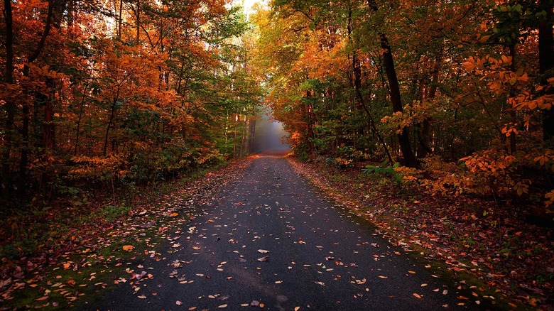
The Hoosier Hill region is home to numerous trails suitable for those interested in easy, leisurely strolls. About 13 miles south of Hoosier Hill on the northern fringes of Richmond, Indiana, is Springwood Park, a 1.3-mile trail passing a lake and through a wooded area. Further south, near Downtown Richmond, is the Cardinal Greenway biking route between Richmond and Gaston. This paved, point-to-point route is just over 50 miles long and is popular with bikers, runners, skaters, and many others who enjoy the lengthy asphalt surface.
South of Richmond is the Whitewater Gorge Trail, perhaps the lushest walk in the Richmond area. The paved trail runs for almost 4 miles along the East Fork Whitewater River and the canopies that surround it. Walkers will also pass a sign marking the former site of Gennett Records, where musicians such as Louis Armstrong and Hoagy Carmichael recorded through the 1920s and early 1930s.