Capitol Reef National Park's Most Striking Feature Looks Like A Wrinkle In The Earth Itself
The picturesque Utah landscape is home to a staggering five national parks. Only California and Alaska surpass that number, putting the Beehive State in rare company. And if you're intrigued by fascinating geological phenomena that can't be seen in many other parts of the world, venturing out to Capitol Reef National Park needs to be on your bucket list. Specifically, you'll want to explore the rugged South District — also known as the Waterpocket District.
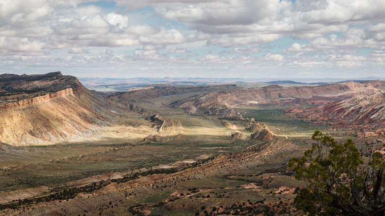
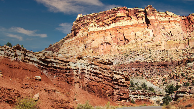
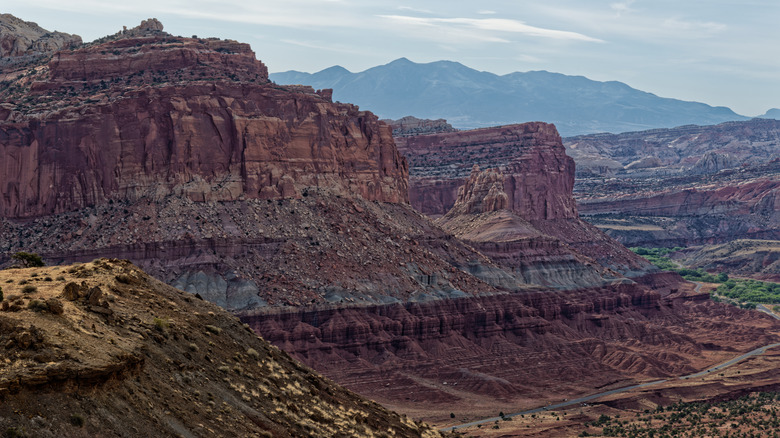
It's here in this remote region that you'll get to witness the awe-inspiring Waterpocket Fold, a massive 100-mile-long wrinkle in the Earth's crust that continues to evolve due to ongoing erosion. In geology terms, it's classified as a monocline — a bend in the rock layers. It was formed around 50 to 70 million years ago when movement in a nearby fault forced the western portion to move above the eastern portion. The sedimentary layers in the area eventually washed away, exposing many of the dramatic formations visible today.
It's an incredible natural process, and it took millions of years for the Waterpocket Fold to become what it is. It's not quite as otherworldly as the nearby Moonscape Overlook, but it's a remarkable sight, nonetheless, and deserves a spot on your Utah itinerary. Thankfully, viewing the best portions of the phenomenon won't take more than a few days, as Capitol Reef National Park gives you easy access to the formation via a variety of scenic drives and hiking trails.
Exploring Waterpocket Fold at Capitol Reef
Exploring Waterpocket Fold means heading to the South District of Capitol Reef. It's typically open to all types of passenger vehicles, though note that road conditions can get challenging during inclement weather. Because of this, you'll want to keep an eye on the forecast so you don't run into issues while out in this remote part of the park.
Loop-The-Fold Driving Tour is one of the most popular ways to enjoy Waterpocket Fold. Spanning 124 miles and taking up to six hours, it'll bring you to several overlooks that grant expansive views of the formation. You'll start at the Visitor Center and follow Highway 24 east before navigating various sections of Notom-Bullfrog Road, Burr Trail Road, and Highway 12. If you're interested in this epic road trip, make sure to look into any road closures and conditions before heading out — reach out to the Visitor Center to obtain this information or check online.
Prefer to set out into the Fold on foot? The Waterpocket District is home to numerous trails, though most are extremely rugged and require excellent route-finding and navigation skills. But if you're confident and want to get up close with Waterpocket Fold, check out the Surprise Canyon Route, Red Canyon Trail, or Headquarters Canyon Route. Each one takes about three hours and brings you to unique geologic formations within the landscape. If you plan on heading out alone, consider refreshing your memory on safety tips to know before a solo hike.
The best of Capitol Reef's Waterpocket District
While traveling through the Waterpocket District, you'll encounter several unique geologic features. One of the most surprising might be the Oyster Shell Reef. Found along Notom-Bullfrog Road, the Oyster Shell Reef is comprised of fossilized oyster shells estimated to be around 100 million years old. Utah might be a landlocked state today, but long ago, it was home to a vast body of water — and these incredible fossils are one of the few remaining memories of that time.
Another one of the best locations in the district, Strike Valley, can be seen by hiking the short Strike Valley Overlook Trail. This trail peers out over an expansive valley representing around 150 million years of geologic movement. You'll need a high-clearance vehicle to traverse the unmaintained road, but the panoramic views are well worth the bumpy ride.
If you'd like to camp near Waterpocket Fold, primitive campsites can be found at Cedar Mesa Campground. There's no fee to use the campground, though just five sites are available on a first-come, first-served basis. You'll have to bring your own food, water, and supplies, as the only amenities it offers are a pit toilet, picnic table, and fire grate. But for a way to see the stars while surrounded by some of the most intriguing rock formations in all of Utah, it's hard to beat Cedar Mesa. For more cool geology, head three hours south to an enchanting river trail carving through another iconic national park.


