A Rugged, Hidden Hike In Arizona Yields The Best Views Of Lake Mead, The Hoover Dam, And Snow-Capped Peaks
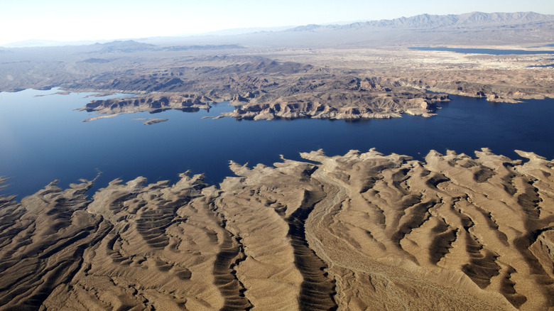
When you think of Lake Mead, along the Arizona-Nevada border, activities like boating or fishing probably come to mind. But have you considered tackling a challenging, scenic hike? Exploring this way might actually be the better option, since Lake Mead National Recreation Area is known as the deadliest National Park in the United States. It's also incredibly popular, drawing nearly 6 million visitors every year. For this particular hike, though, timing is everything — plan your trip for winter or early spring, when the crowds thin out and the temperatures are cooler. After all, most visitors flock here in summer to escape Arizona's relentless heat.
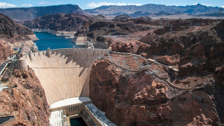
When you think of hiking in Arizona, iconic spots like the Grand Canyon or saguaro-studded vistas near Phoenix and Tucson might come to mind. But the terrain here is something entirely different. At the summit, you'll be rewarded with sweeping views of Lake Mead, Hoover Dam, and, depending on the season, snow-capped mountains on the horizon. Along the way, the rugged beauty of volcanic rock shapes the dark-capped mesas of Fortification Hill, the stunning destination for this hike.
Getting to Fortification Hill
The trailhead is located on the Arizona side of Hoover Dam, a short drive southeast of Las Vegas on Highway 11 (which turns into Highway 93). Along the way, you'll have the chance to stop at the Lake Mead Visitor Center (which offers spectacular views of the lake) and the iconic Hoover Dam. At the Visitor Center, you can use the restroom, stamp your National Park passport book, and learn about the desert landscape and wildlife. Be sure to buy your park pass online or at the entrance before heading to the trailhead.
If you've stopped at Hoover Dam, continue south on Highway 93, over the bridge into Arizona. If you didn't stop at Hoover Dam, you might want to add it to your list for your return trip. In addition to the marvel of engineering, a hidden hot springs is nearby. Approximately 2 miles past the bridge, take Exit 2 for Kingman Wash Road. Turn left, drive under the highway, and continue east and then north on Kingman Wash Road. From here, you'll need a high-clearance vehicle as you navigate the rugged dirt roads leading to the Fortification Hill Trailhead. The 6-mile drive is slow and rocky, so factor that into your adventure. Since cell service can be spotty in remote areas of Arizona, you'll want to have your route downloaded to your phone before heading out.
Hitting the trail
Fortification Hill is rated as hard and presents real challenges, even for seasoned hikers. You'll find steep climbs, rocky terrain, and a lack of shade or water. Be prepared for emergencies and staying hydrated with plenty of water in your pack. The hike is approximately 4 miles round-trip, with an elevation gain of 1,400 feet. Ed Tsai, from the YouTube channel Hiking with Ed, describes this trail as "one of the most challenging hikes I have ever done." His channel includes a full walkthrough of the hike so you know what to expect before you arrive.
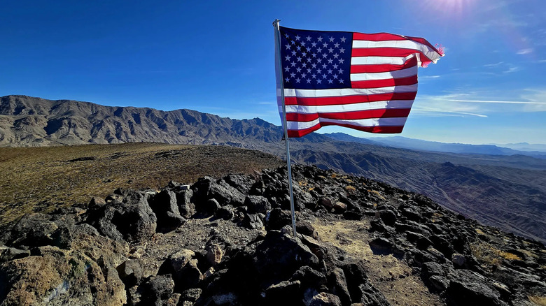
Many contributors on AllTrails recommend using hiking poles for added stability on the steeper sections of this trail. Once you reach the summit, you'll find an American flag proudly waving at the top. From here, you'll be treated to panoramic views of Lake Mead, Hoover Dam, and the surrounding mountains. In winter, you might even see snow-capped peaks in the distance. Be sure to pack a well-earned snack to enjoy, and rest up before you start the climb back down.


