One Of Wyoming's 'Prettiest Places' Is A Barely-Known Basin Of Canyons, Mountains, And Waterfalls
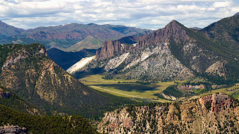
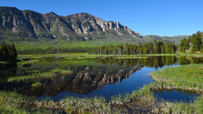
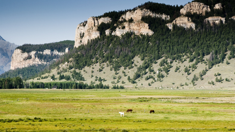
Almost every scenic stretch of Wyoming is, understandably, outshone by the seasonal blessings of Yellowstone. The otherworldly hydrothermal features and abundant wildlife draw millions of travelers to Wyoming every year, but too many of them overlook the state's lesser-visited vistas. The Sunlight Basin, a verdant sprawl of plains, forests, and canyons all capped by frosted mountains, is an easy add-on destination for visitors to the state's famous national park. Ditch the crowds and explore the natural wonders of the basin, typically traversed on a winding highway that cuts through the valleys or on its vertiginous trekking trails.
The best of Sunlight Basin's hiking trails and the start point for the scenic valley driving route originate in Cody, Wyoming. A gateway to Yellowstone and a living homage to Wyoming's Wild West heritage, the self-proclaimed "Rodeo Capital of the World" is named for its former resident Buffalo Bill, housing five museums dedicated to its pioneering past and regular reenactments of the gunslinger shootouts. Yellowstone Regional Airport makes the town accessible via flight from Denver, Colorado, while several highways offer an entryway into Cody from the north, south, or east. For more predictable and clearer conditions, plan to travel during the summer or fall, though snow plows do service the road once winter falls.
Explore Wyoming's Sunlight Basin on a scenic road trip route
The state's vast and justly famous swathes of conserved country are woven with some of the most breathtaking scenic drives in national parks, according to experts, and a pass through the cliff-fringed road through the Sunlight Basin can be easily tacked on to a Wyoming road trip route. The Chief Joseph Scenic Highway runs through 47 miles of rugged Wyoming country, tracing the route that the Clark's Fork of the Yellowstone River carved through the basin. Drive between its rust-mottled canyon walls and snow-dusted mountain peaks before cruising into the vast open basin.
Dawdle on Sunlight Bridge, the highest bridge in Wyoming over Sunlight Creek, beneath the shadows of the soaring Cathedral Cliffs, and on the Dead Indian Summit Overlook. Looking past its dark name, a reference to the plight of the Indigenous inhabitants of the basin and the scenic route's Nez Perce namesake, the panoramic views of Sunlight Basin and the Absaroka Mountains from the peak are unbeatable. Taking less than a day to traverse, the scenic highway takes in the best of the Sunlight Basin without eating into a significant chunk of your Wyoming itinerary.
Hike through history and unique landscapes in Wyoming's Sunlight Basin
Wyoming's natural wonders offer endless outdoor recreation, and the best option for active explorers in the Sunlight Basin is to set out on foot. Close to the town of Cody, Wyoming, an out-and-back, 4.2-mile hiking trail along the Sunlight Canyon ridge takes less than 2 hours to trek. By setting out on foot, you'll catch vantages of the springs and multi-tiered falls pouring from the canyon walls. Another 5.2-mile round route runs nearby, primed for walkers and birdwatchers wanting to explore the grassy valleys. One of Wyoming's underrated geological wonders, hikers on the basin can expect to see unique formations and fauna including elk and deer.
A stretch of the The Nez Perce (Nimíipuu) National Historic Trail also passes through the basin, where explorers can hike through a patch of the troubled history of the region. The sunlight of the basin was blackened by the early European colonial expansion into the western states, when it was better known as Dead Indian Pass and the U.S. army used the natural bison migratory pass to ambush and slaughter Bannock tribe members attempting to flee north to Canada. After the native harbingers of life in the basin were eliminated along with the once abundant herds of bison, the area became an active mining camp. Another passage that encompasses the storied stretch, the Clarks Fork Canyon, and Sunlight Falls, is the Dead Indian Creek to Clarks Fork Canyon overlook hike, half a mile from the Dead Indian Campground.


