The Iconic City That Earned The Infamous Title Of 'America's Death Stair Capital'
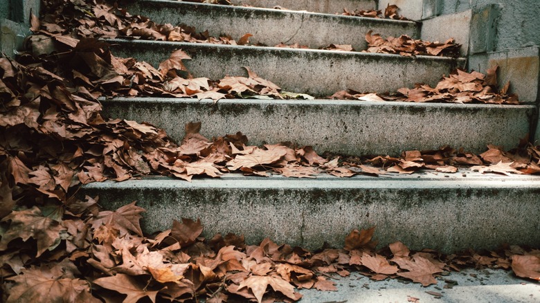
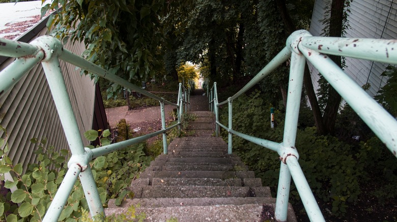
A city with about 800 sets of creaky steps according to Public Source has earned its nickname from a Facebook group dedicated to sharing photos of uneven and dangerous public stairs. Although life-threatening stairways can be found all over the world, the proliferation of them in Pittsburgh has become the group's most recent fixation. The city's hilly geography bumps along from 686 feet to 1,391 feet above sea level along roller coaster streets with sweeping views that are often only accessible (like some houses) at the end of a dizzyingly steep stairwell.
You might think receiving an unsettling nickname, like America's "Death Highway" or being branded the scary moniker of Costa Rica's "Cave of Death" would be the kind of thing to make visitors steer clear of said feature; but somehow, the danger is almost what draws us in. And for Pittsburghers in the Facebook group and elsewhere online, it has almost become a point of civic pride. According to Reddit, the group has already served as a social connector. "I found a long lost friend from high school on there," posted kimbecile, referencing the Facebook group on a Subreddit devoted to the death stairs. Read on to learn how to navigate these dangerous staircases and find out what other hikes and views make Pittsburgh so iconic.
Walk slowly and keep your balance in Pittsburgh
It may not be the Pennsylvania city with America's most charming cobblestone streets, but Pittsburgh's ramshackle stairways are another walking feature that can warm your heart while also giving it severe palpitations. The loose, shaky, or sometimes dismantled railings on steep Pittsburgh stairwells are occasionally subject to DIY fixes from residents, like one who used a length of hose to replace a missing railing. While walking, it's a good idea to move slowly, take breaks if you need to catch your breath, and keep an eye out for loose steps or railings.
You can take your own hike around Pittsburgh via these stairwells with the help of the trusty guidebook "City Steps of Pittsburgh: A History and Guide"or attend a guided tour of them with Pittsburgh-based nonprofit, Venture Outdoors, once a month from May through November. Advance reservations are required and the tours sell out, so book in advance. The South Side Slopes Neighborhood Association also releases a StepTrek guide to historic routes in the neighborhood, in addition to hosting an annual StepTrek walking event every October to fundraise for the community's stairwells. The event starts at SouthSide Works, S. 28th and Sidney Streets.
A new initiative in 2024, the "step adoption program," spearheaded by the nonprofit Allegheny Cleanways, has taken a number of stairwells into the fold and is recruiting volunteers to help keep trash off the steps and report structural damage or unsafe pathways to the city. "We have been excited to see the interest of volunteers already," the group's executive director, Gaily Grube, told Pittsburgh's CBS News affiliate, KDKA.
Scaling Pittsburgh heights and hikes goes beyond climbing stairs
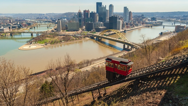
The city's steep landscape offers great views, whether you reach them on a lesser-known hike that promises photo ops, or via a 19th century cable car called the Duquesne Incline. The TripAdvisor Travelers' Choice Award-winning experience takes visitors from the foot of Mount Washington, at 1197 West Carson Street, to its summit to experience breathtaking views of the city's skyline. Once the daily route to the coal mine, it rises 400 feet at a grade of 30.5 degrees. Today, it's a great way for anyone, especially those with less physical mobility, to experience the heights of the city. On-site payment is cash only, but you can use a Port Authority connect card, too. Once you reach the top of Mount Washington, take in the panorama and check out some of the neighborhood restaurants.
Traverse the city's iconic sites along 33 miles of the Three River Heritage Trail, which weaves its way through the intersection of the Ohio River, the Allegheny River, and the Monongahela River. You can hike, bike, or even cross-country ski (in the wintertime) across much of the city and access some of its best neighborhoods without ever using a vehicle. The Friends of the Riverfront website offers maps with bathrooms and drinking water points, trail guidance (don't forget to clean up after your dog), and special alerts to help you make the most of your route.


