The Most Breathtaking Scenic Drive On The Oregon Coast Is Full Of Secret Beaches
If you've ever taken a trip to the Pacific Northwest, you know that Oregon is a beautiful state with one of the best coastlines in the country. The Oregon Coast is a sight to behold, and it has a lot to see and do along the way, including, for example, one of America's best aquariums.
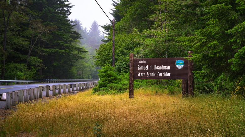
But Oregon's coastline spans some 362 miles, so that barely scratches the surface of what you can uncover in the Beaver State. Near the Oregon-California border, north of Brookings and southwest of the Rogue River-Siskiyou National Forest, lies the Samuel H. Boardman State Scenic Corridor.
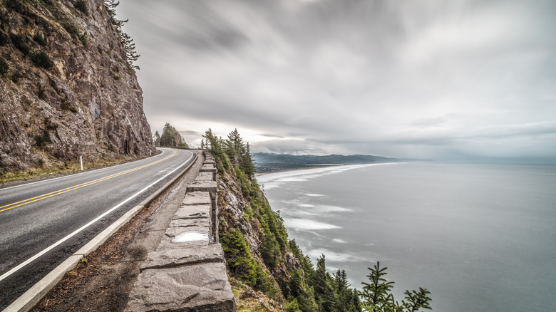
If you're looking for white sand beaches and sunny, tropical vibes, this corridor is not for you. Instead, it's perfect for those love the rugged Pacific Ocean and don't mind a few clouds. For 12 miles, your senses will be delighted with the sights, sounds, and smells of this part of U.S. Highway 101. Plus, there are so many places to stop and get out that you may find yourself spending more than a day exploring it all. So, put on your hiking boots and let's check it out!
The Samuel H. Boardman State Scenic Corridor
Officially, this iconic drive stretches 28 miles along the coastline between Brookings and Gold Beach. The corridor, which is closer to Brookings, is named after Samuel H. Boardman, who was the first superintendent of the Oregon State Parks department. During his tenure from 1929 to 1950, Boardman wanted to preserve Oregon's south coast, and this pristine section of the state has become his legacy.
If you're coming from Gold Beach, it'll take about 13 miles to reach the northernmost part of the corridor. If you're coming from Brookings, you'll hit the southernmost tip after just about three miles. Both options are equally good. If you're coming from Portland (home of the largest urban forest in the U.S.), it'll take over five hours to get there, so it's best to stay in either Gold Beach or Brookings for the night.
For some, just driving through the corridor and stopping at several scenic overlooks for incredible ocean views is pleasant enough. For others, every inch of the state park must be explored, from Arch Rock in the north to Cape Ferrelo Viewpoint in the south. There are over 18 miles of trails along the corridor, so you can spend as little as a couple of hours traversing the landscape or several days to see it all.
A quick rundown of all the sights along the corridor
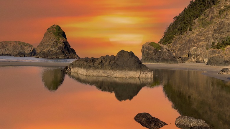
Assuming that you're starting from the north, the first stop on your journey should be Arch Rock State Park. As you might suspect, the name of this park comes from a stunning arch-shaped rock formation jutting out from the ocean. As you make your way south, you'll run into Spruce Island Viewpoint, which you can access quickly from the road. After taking a few pictures, it's off to the Secret Beach trailhead. Secret Beach is relatively small, but it's secluded and feels like a private paradise.
After dipping your toes in the sand, you should stop at Natural Bridges at Seal Cove. The rock formations are jaw-dropping (and photos online don't do them justice). Just sit and bask in nature's majesty. Then, it's off to China Beach, which is not as secluded, but it's definitely not overcrowded. If you're still in the mood for hiking, there's the Indian Sands Trail, which forms a 1.1-mile loop.
During the last leg of your drive, you can pull off to see Diamond View, and then hike down to Whaleshead Beach. Whaleshead Viewpoint down the road gives you an magnificent glimpse of the ocean. Finally, there's House Rock Viewpoint and Cape Ferrelo Viewpoint before you reach Brookings. After exploration, spend some time in this hidden beach city for more outdoor fun on Oregon's southern coast.


