Which Rim Of The Grand Canyon Offers The Best Hike Based On What You Want?
The Grand Canyon has four compass-pointed rims — north, east, south, and west. The East Rim is best known for Horseshoe Bend, a stunning meander near the small town of Page, and one of the most photographed landmarks in the state. 350 miles west is the West Rim and its Sky Walk, a glass and steel structure that juts into the canyon. Both are worth visiting, but neither offers the hiking opportunities of the Grand Canyon's South Rim and North Rim.
Which one should you visit? Well, both would be best. The Grand Canyon's beauty cannot be overstated. You'll find scope and scale here like few other places on Earth. So, if you can, try to include both. Overall, the South Rim is best for visitors who want convenience, famous views, and trails from the rim to the Colorado River, while the North Rim, which is over 200 miles away, is better suited to those looking for smaller crowds and easier trails.
Easy access and famous views at the South Rim
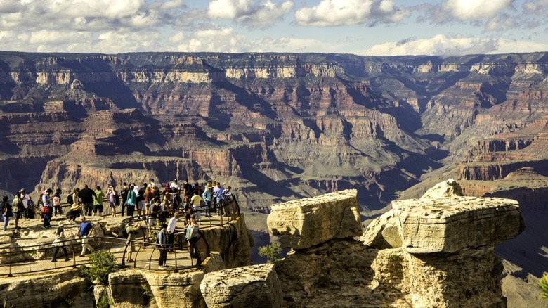
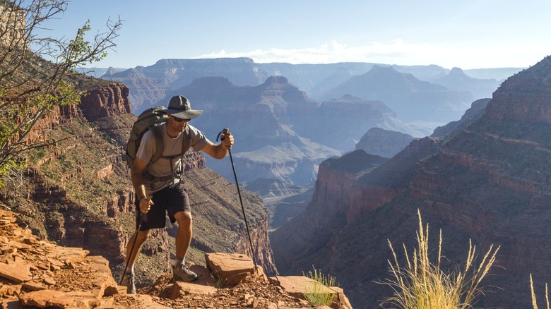
Every visit to the Grand Canyon should begin with the Rim Trail. This is not a hiking trail but a 13-mile paved path looking out on the famous views captured by Ansel Adams and millions of awestruck visitors since. There are no challenges here for the hike-minded, though. And that's fine because the South Rim is home to the, South Kaibab Trail, Hermit Trail, and the Grandview Trail.
The Bright Angel Trail is the Grand Canyon's most popular hike path. It is 9.6 miles long and descends over 4,000 ft, stopping at the Mile-and-a-Half Resthouse, the Three Mile Resthouse, and finally, the Indian Garden, where summer day hikers usually turn around. Don't forget food and water — the Bright Angel Trail is one of the most dangerous hikes in America.
The South Kaibab Trail is east of Bright Angel and is accessible by shuttle bus only. This route descends from 7,260 feet to 5,200 feet, stopping at Ooh-Aah Point, Cedar Ridge, and Skeleton Point. Day hikers should not go past Cedar Ridge during summer or Skeleton Point year-round. There is no water on the route. Hermit Trail and Grandview Trail aren't for casual hikers. They are steep and strenuous and require experience and preparation to complete. A former mining route, Grandview Trail, is probably the hardest.
Smaller crowds and peaceful trails at the North Rim
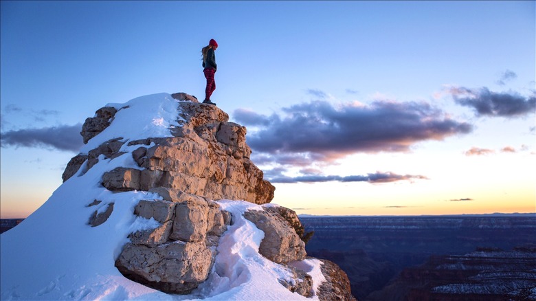
A relative few are willing to drive over 200 miles from the South Rim to the North Rim, and that's good because this keeps the North Rim as a peaceful alternative with fewer hikers and a greater number of trails. Of the North Rim's 13-day hikes, several of them — including Bright Angel Point, Bridle, Transept, Cliff Springs, and Roosevelt Point — are under three miles long and can be completed in as little as 20 minutes. On these trails, you will find forested trails, informative markers, and beautiful red rock scenery.
It's not all pathways and reflection at the North Rim, though. The Widforss Trail offers a bracing 10-mile, six-hour round trip through foliage and canyon scenery that should suffice for casual day hikers. Similarly, the Arizona Trail — a route from Utah to Mexico — passes through the North Rim for some 10 miles and connects with the North Kaibab Trail.
The North Kaibab Trail is the North Rim's only trail into the pit of the canyon. Day hikers looking for beauty and moderate exercise can make comfortable round trips to Coconino Outlook (1.5 miles) and Supai Tunnel (four miles). For an endurance test, continue along the trail to Roaring Springs, a 9.4-mile round trip and the very limit of a North Rim day hike. Perhaps the most challenging route in the area is the Nankoweap Trail, but that's for experienced hikers only.